Walking tour to Vrmac (Eng)
Open the beauty of Kotor bay hiking the mount Vrmac!
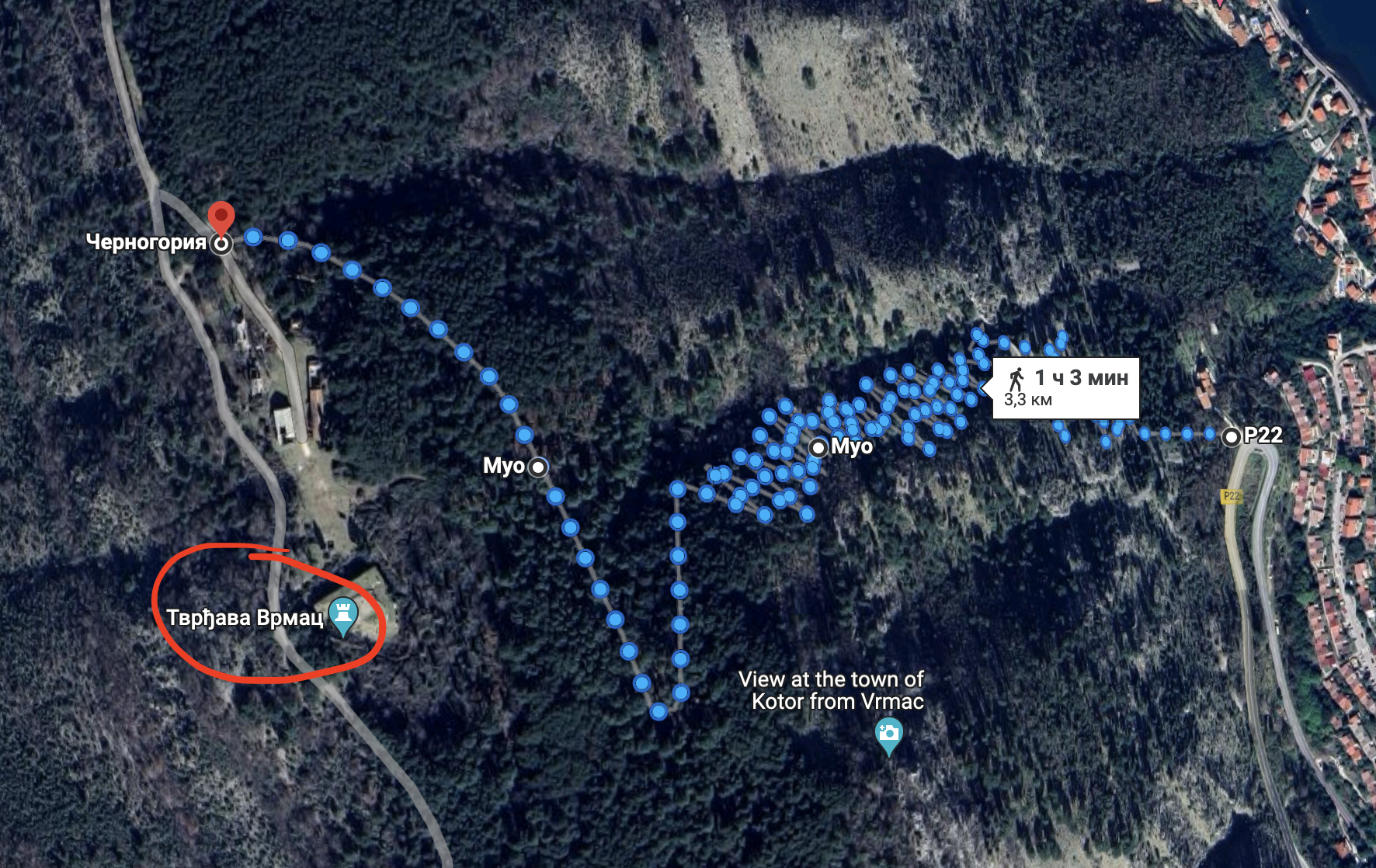
All locations of the hiking tour for Maps.me you can download here: Маршрут над Котором.kmz
By the way all coordinates can be used in Google Maps as well! However there is a risk of absence of some walking paths on this map.
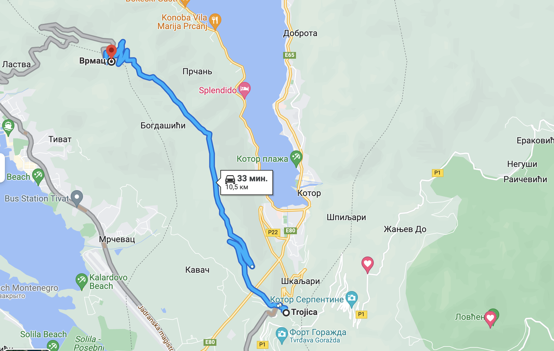
Vrmac by car
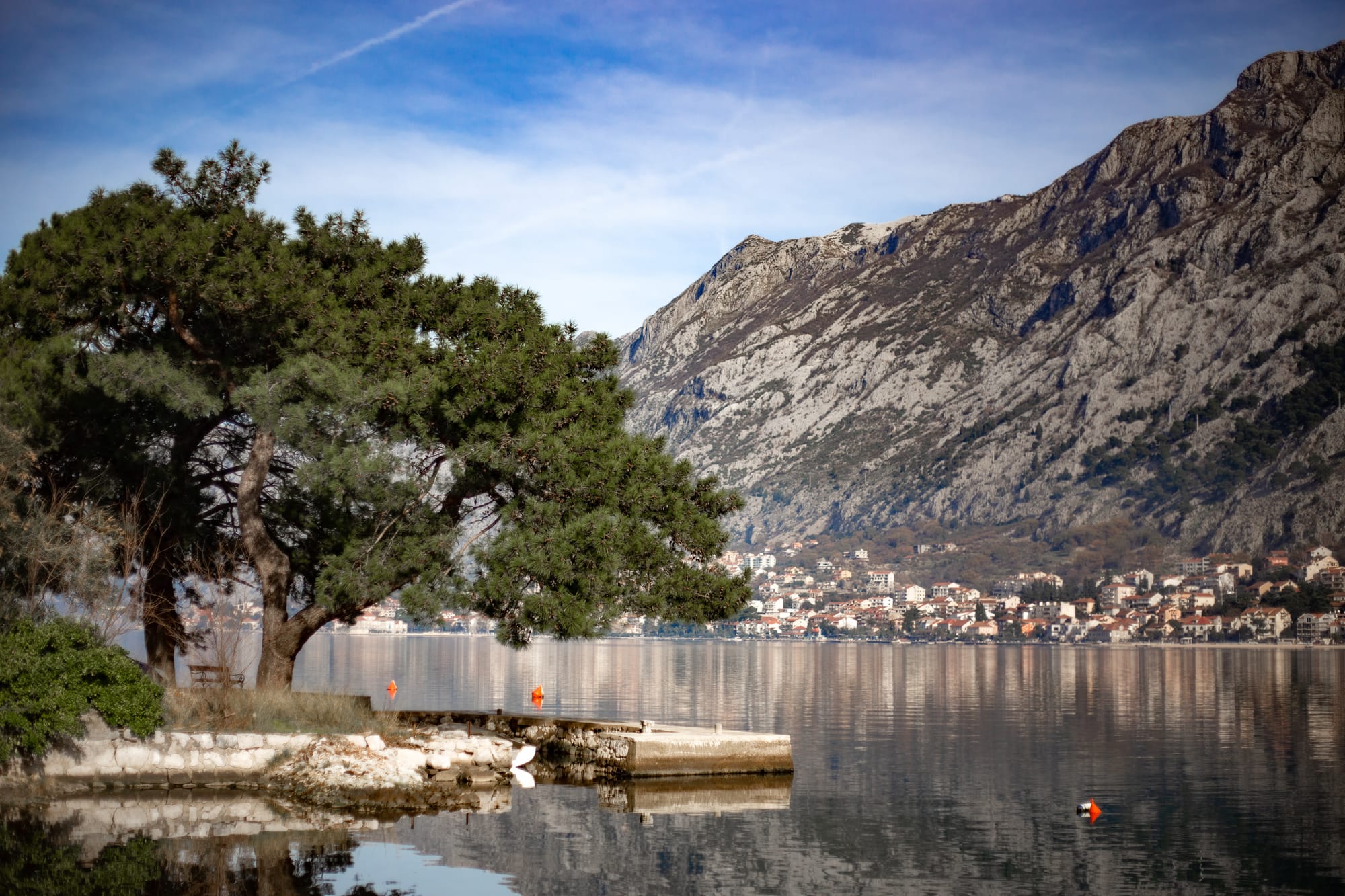
Vrmac mountain separates the Bay of Kotor into 2 parts: Tivat and Kotor.
Mountain range is extremely popular among both car lovers and hikers. As for me, I was hiking, but if you want to ease your life and drive the car I advise you to look for paved road from fort (village) Trojica.
There are 2 samples below:
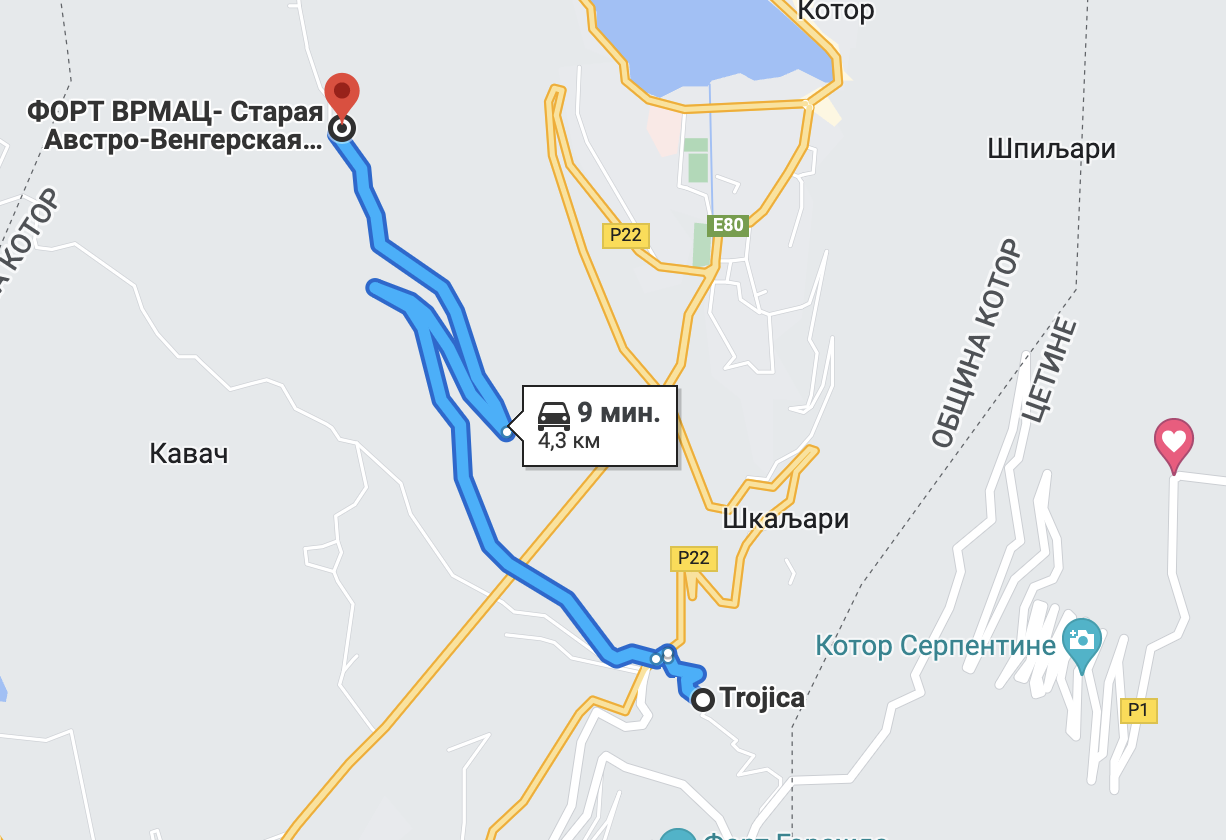
 There is a road:
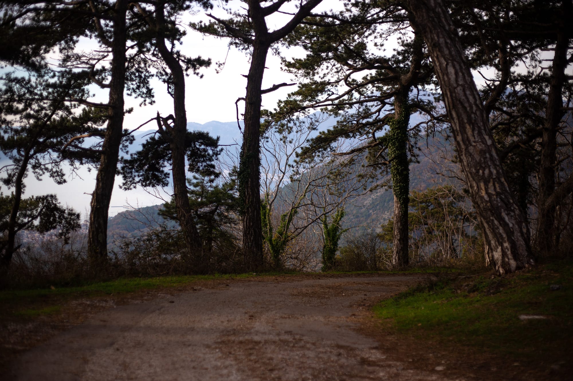
If you leave the car, you can walk along the mountain range and admire scenic Kotor and Tivat views. There are both forest trails and viewpoints. The most popular one is Sv. Ilije https://goo.gl/maps/rYviW2XH83EDJqtw6.
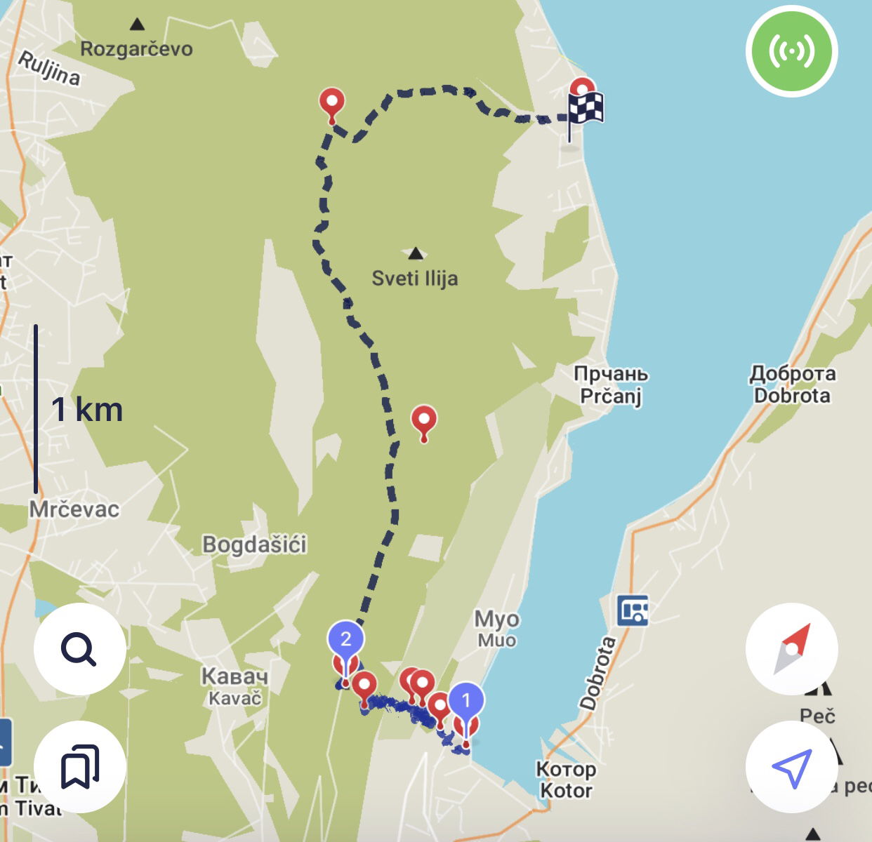
It is almost impossible to get around all trails in one time. Moreover, there is lots of paths of ascents to Vrmac: from Stoliv, Prchan, Lepetani, Muo - the Kotor bay settlements. We start from settlement Muo.
Let's go! That is let's hike;)
to mount Vrmac
📍1| МУО Villa Splendour
42.422378, 18.761877
https://goo.gl/maps/4kTqnLCbWfuAqGbP8
A steep slope, photo breaks and snacks took us ~ 6 hours and 12 km. Let's look:
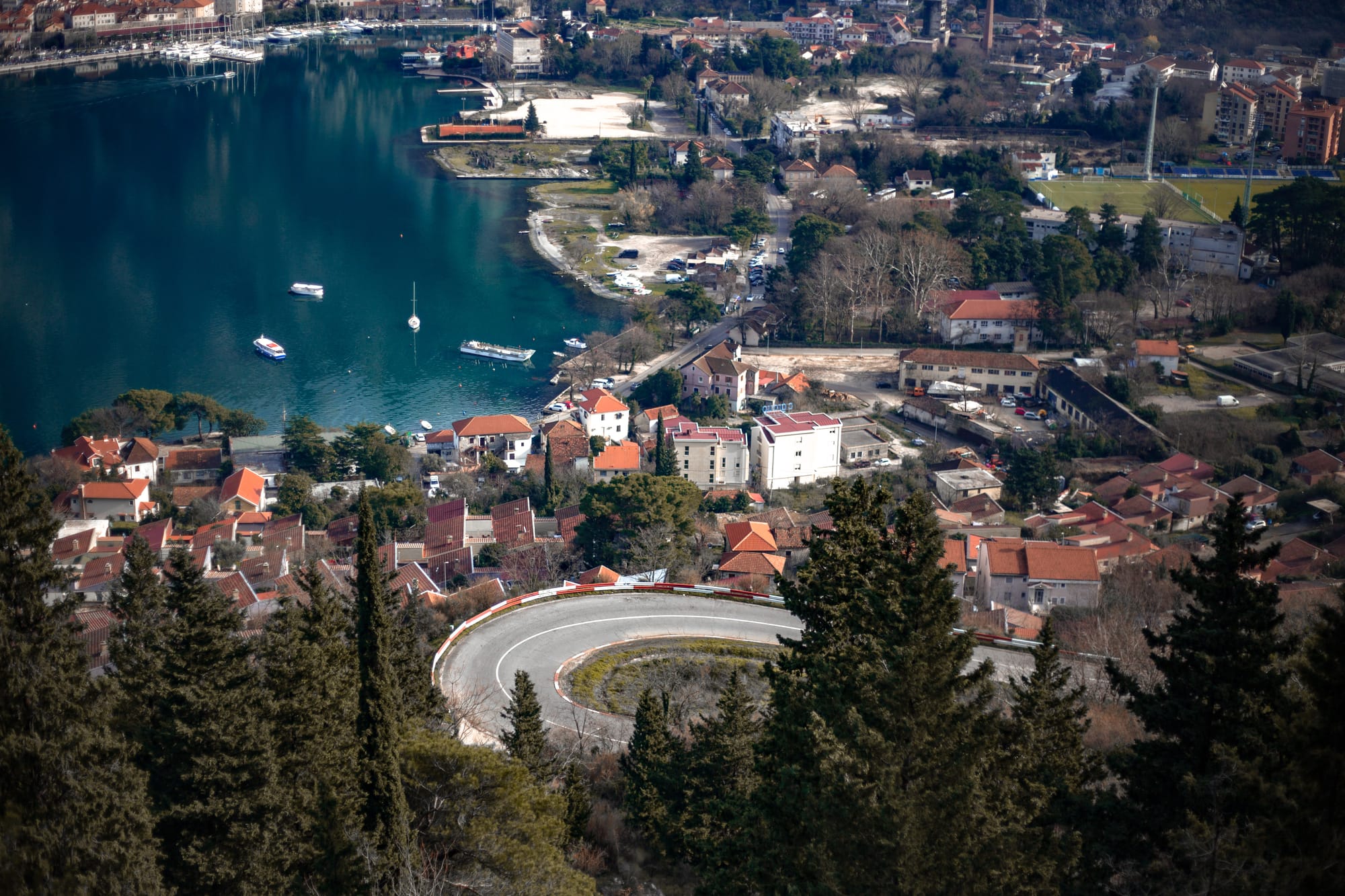
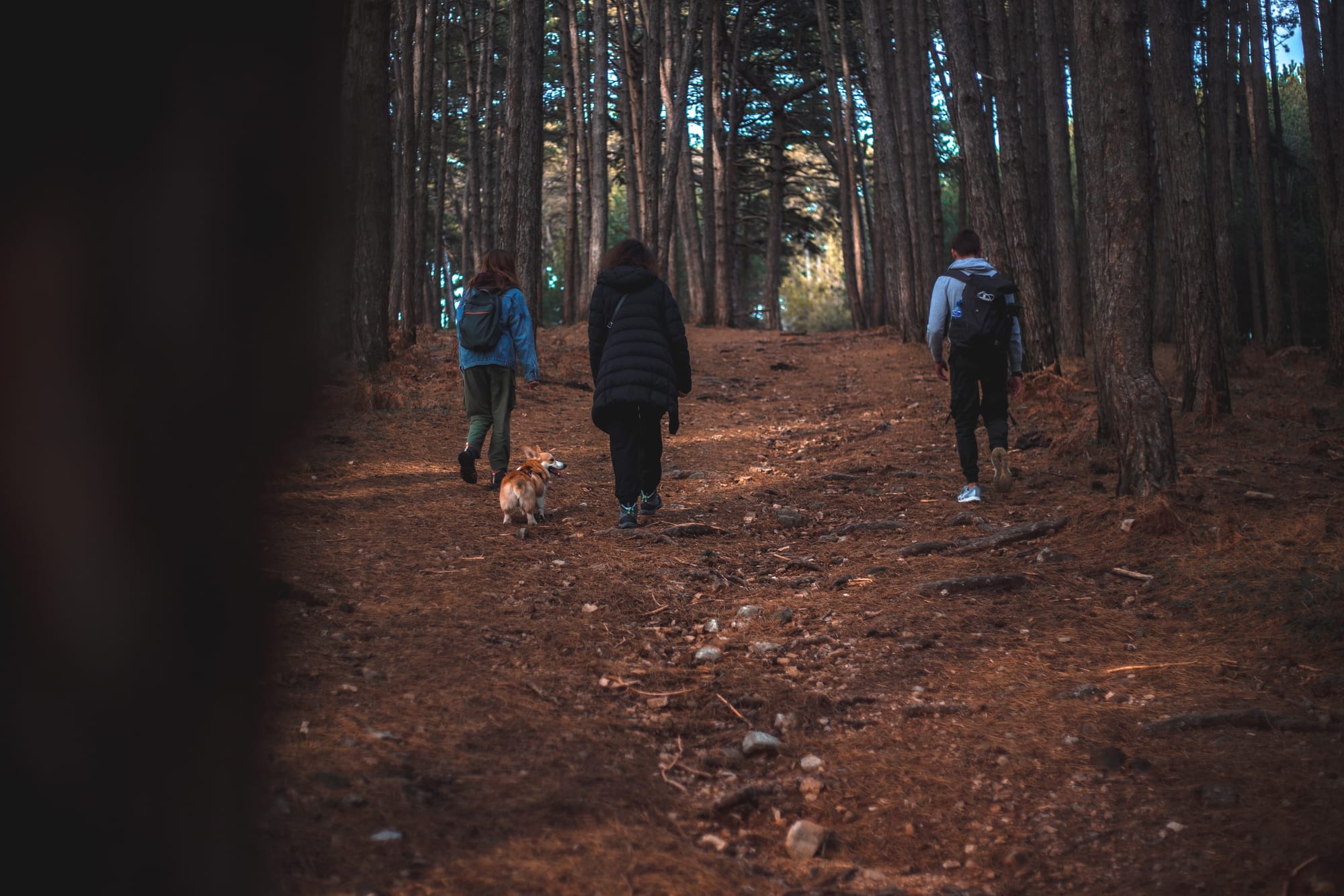
 In the beginning we were passing by authentic houses to the ladder. Before the ascent we enjoyed scenic views of the Kotor Bay.
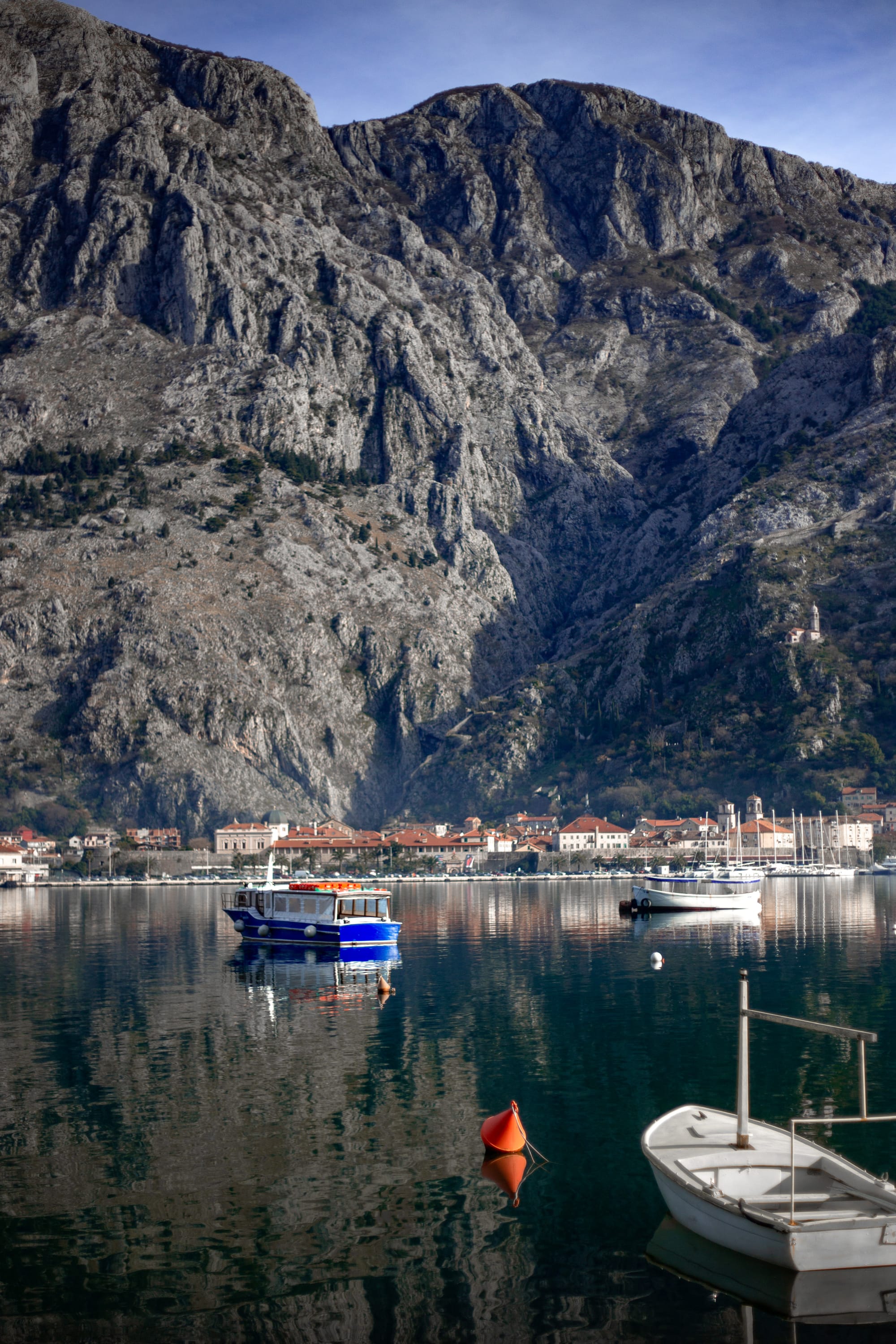

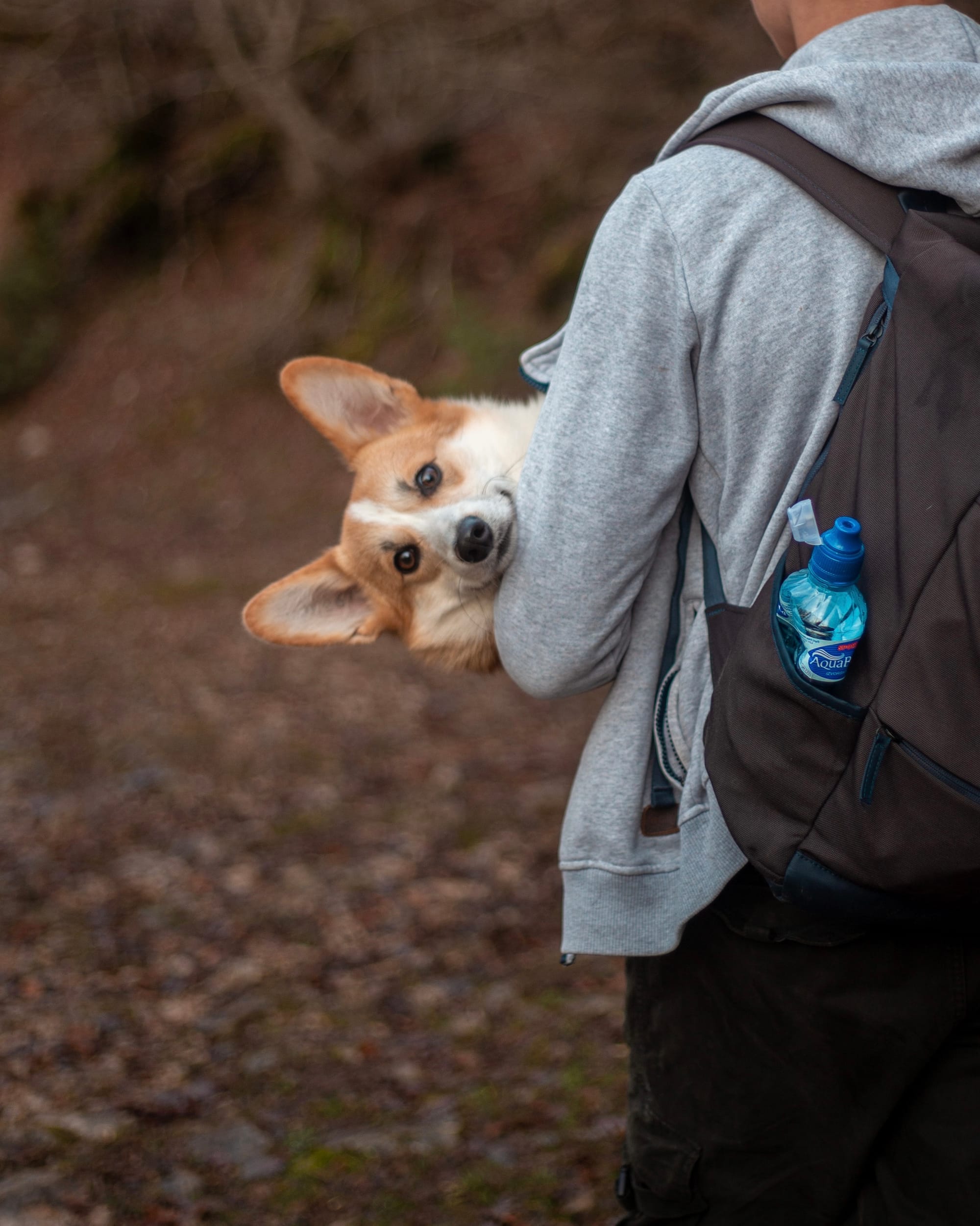
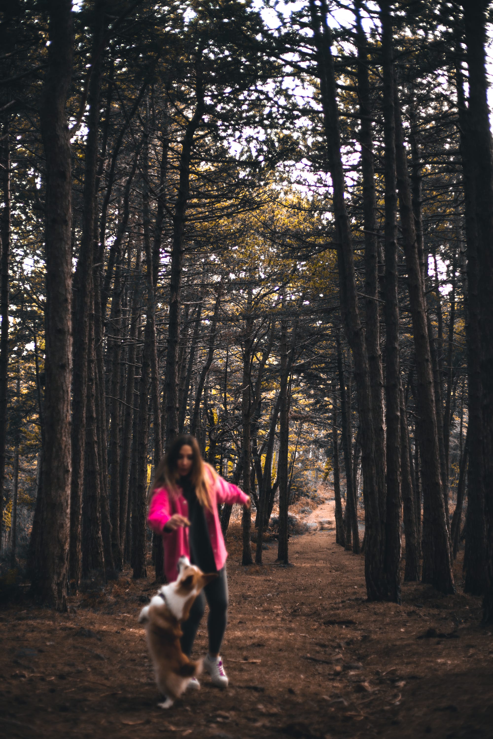
In fact, all the track we were followed by my lovely corgi Freddy. But sometimes he was followed by us;)
📍2| Ascent
42.422409, 18.758837
https://goo.gl/maps/9nyKX6TeCpQegUhA6
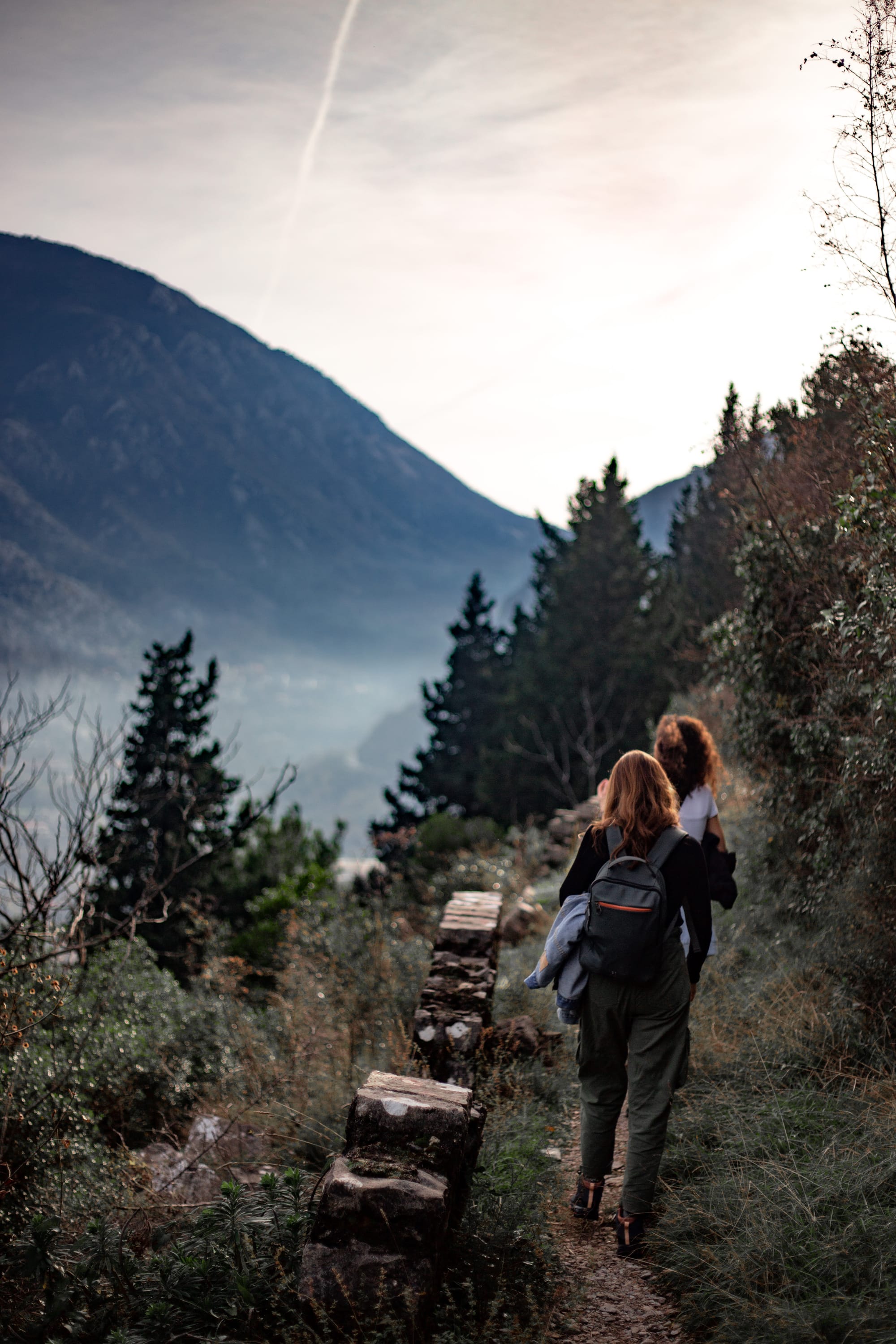
There we were climbing zig-zag trail, stopping to enjoy picturesque views. It wasn't extremely hard. It took us ~ 50-60 minutes.
That is how it looks like in Google Maps & Maps.me: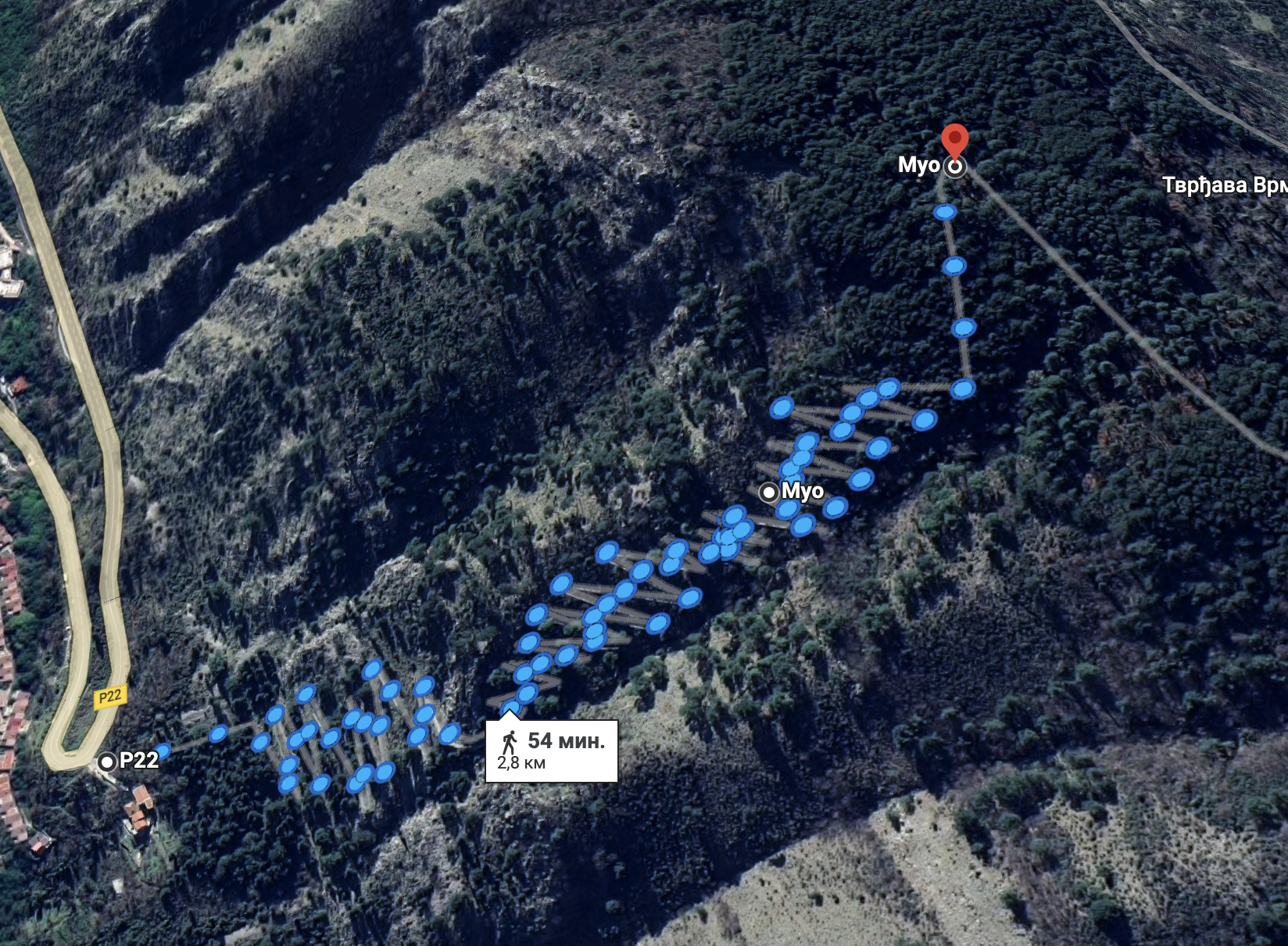
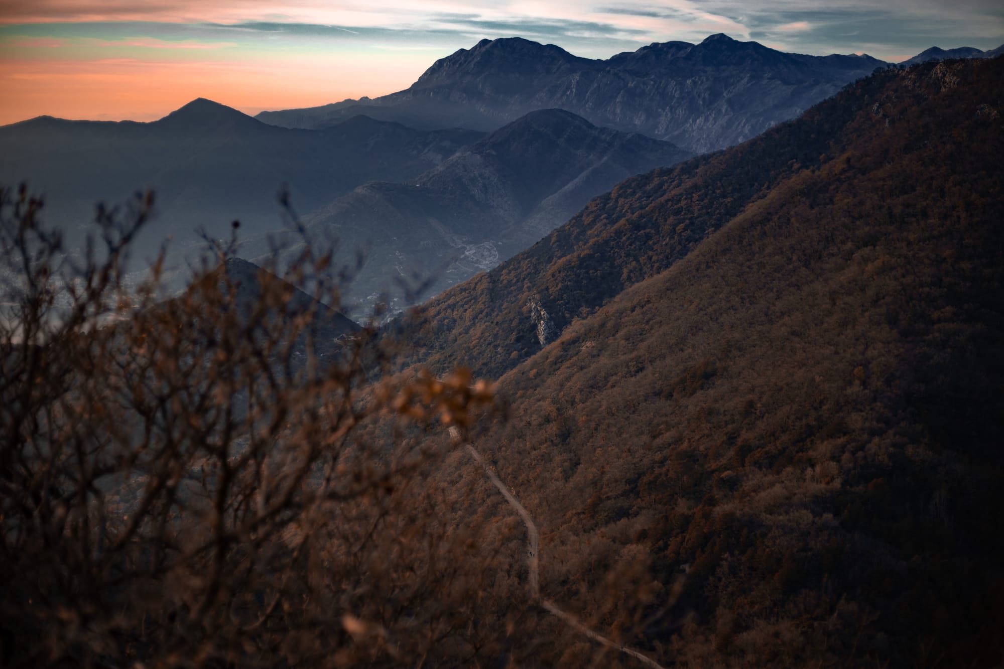
Rising above, we were observing the following:

There are coordinates of some viewpoints:
42.422989, 18.756281
42.422674, 18.755367
42.420545, 18.751917
However you can decide where to create a viewpoint by yourself;)
After ascent and viewpoints we reached a plateau!
There was our first deliberate stop for snacks and visiting fort Vrmac.
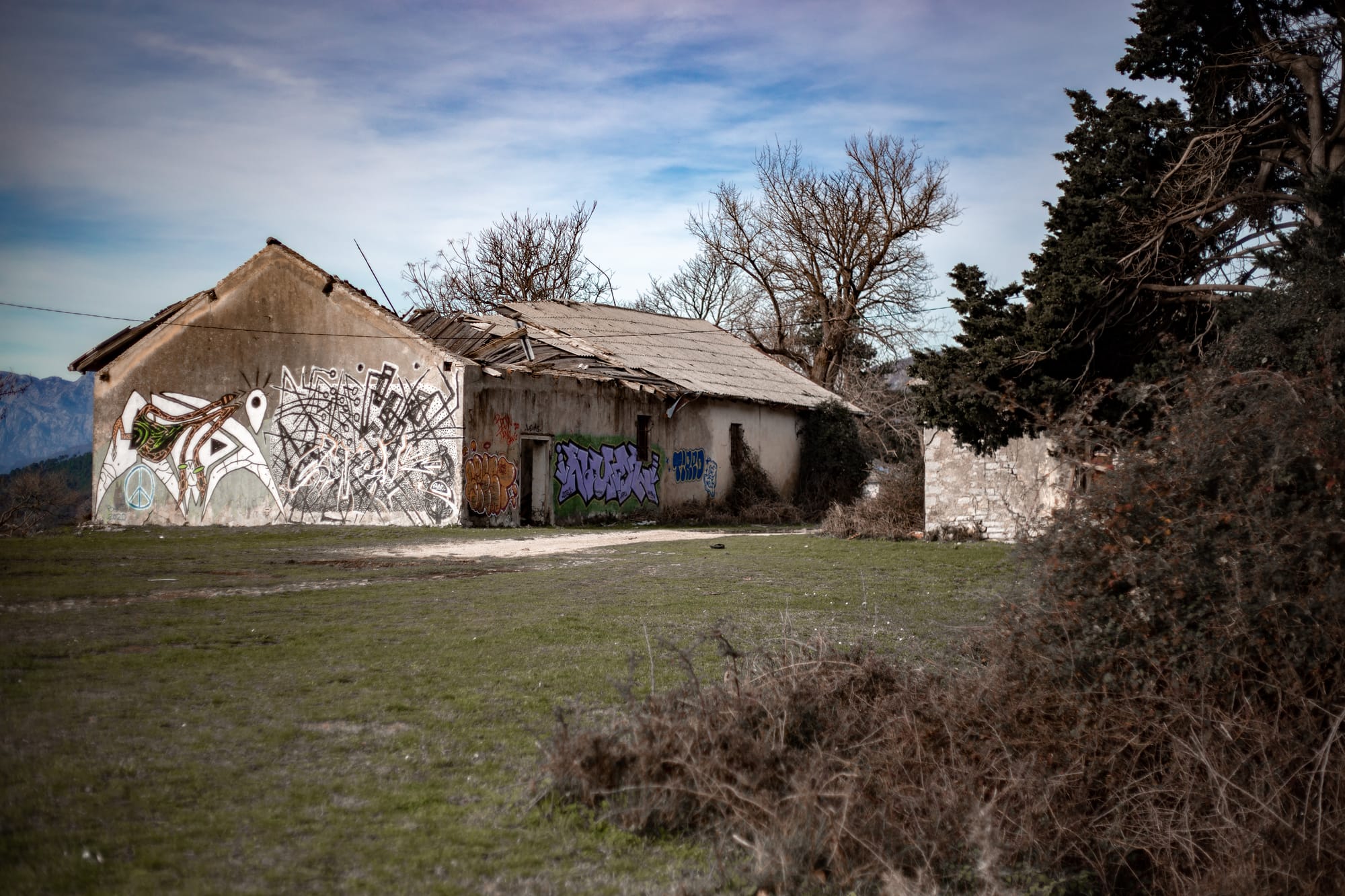
📍3| Fortress Vrmac
42.421057, 18.74928
https://goo.gl/maps/LtEfMCqPWVT3jzEu5
Let's take a look at the fortress from the inside:
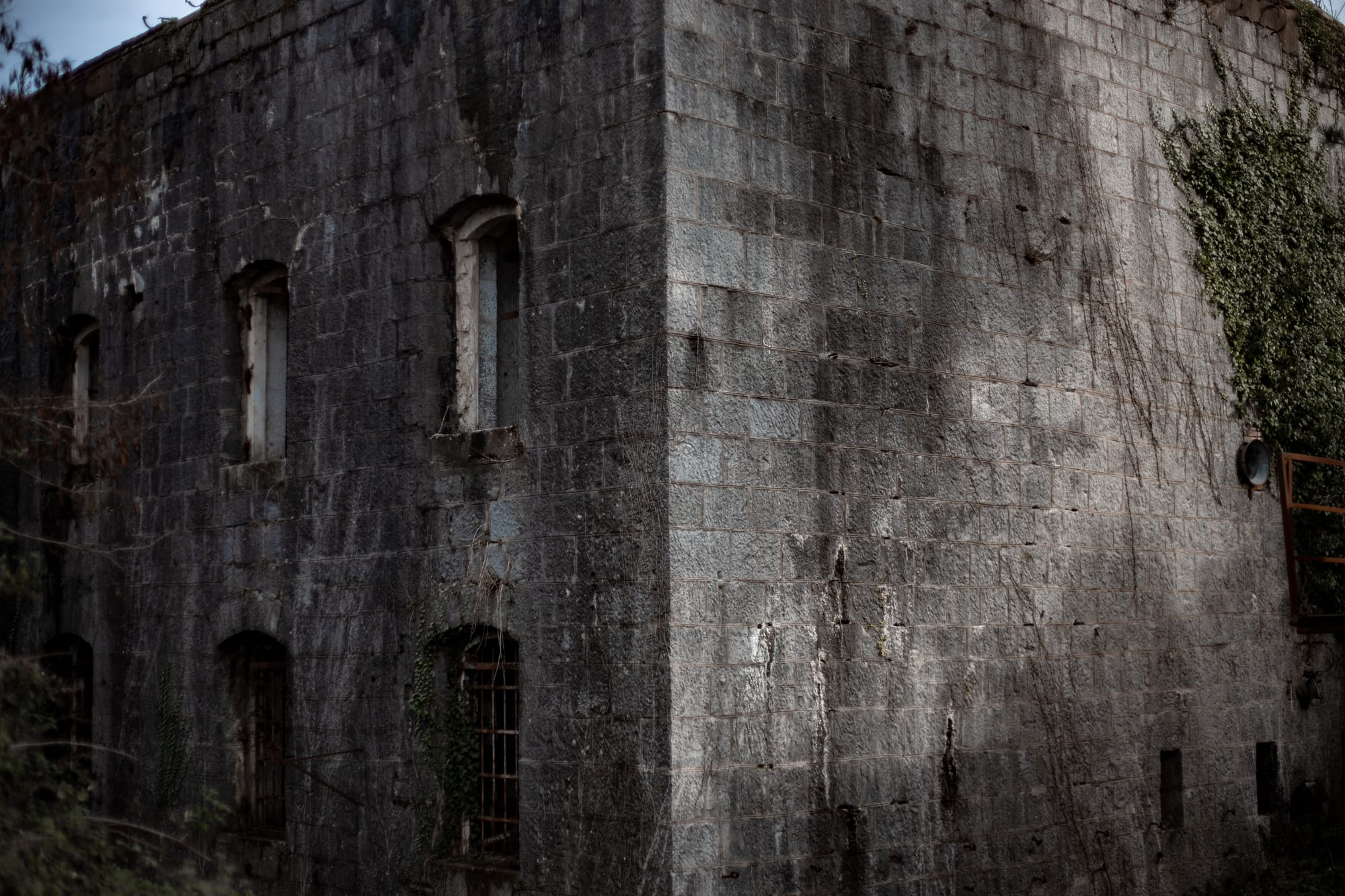
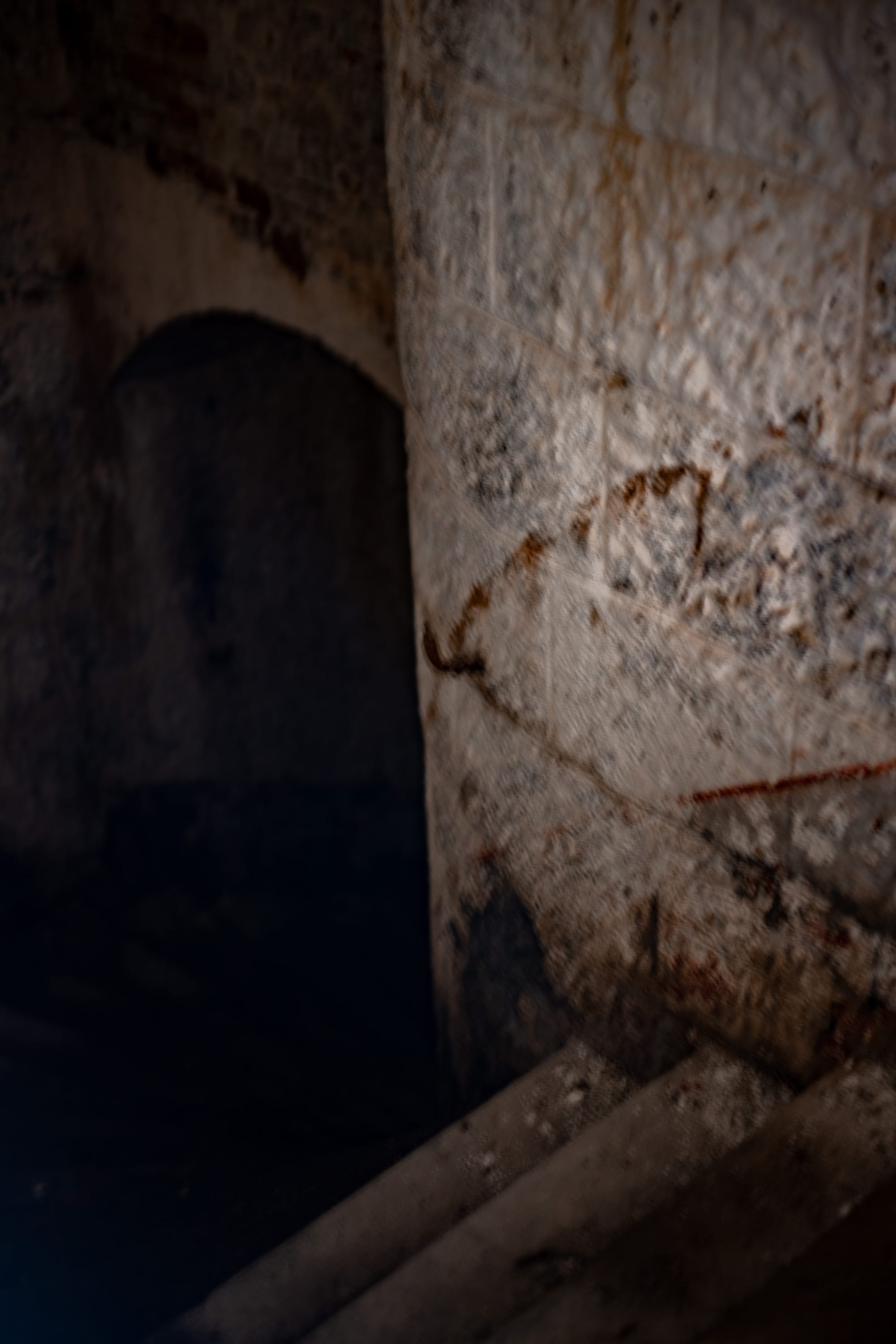
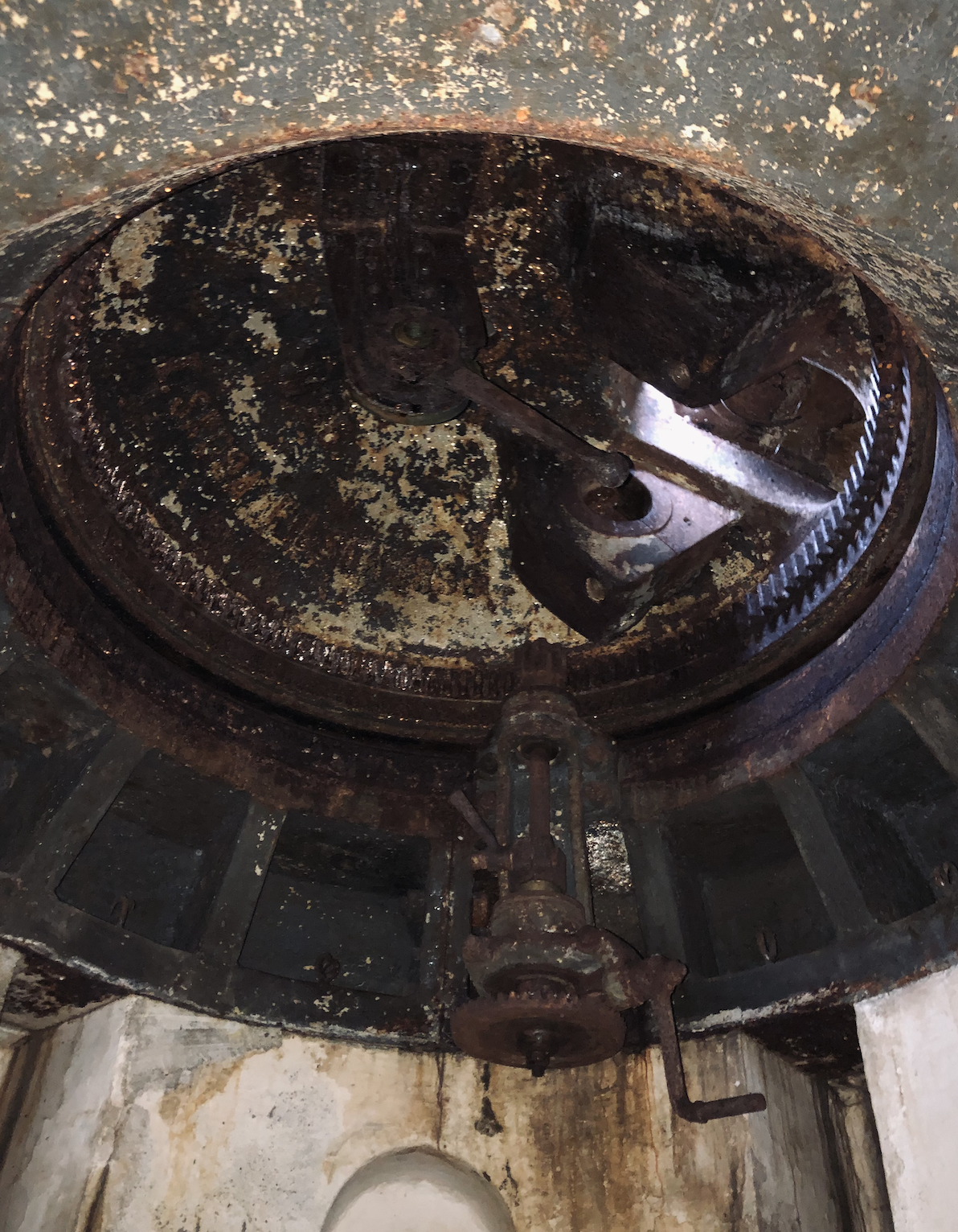
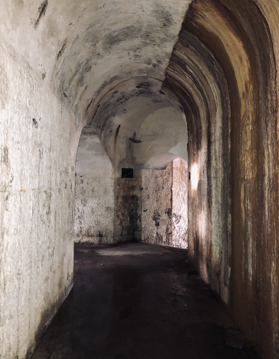
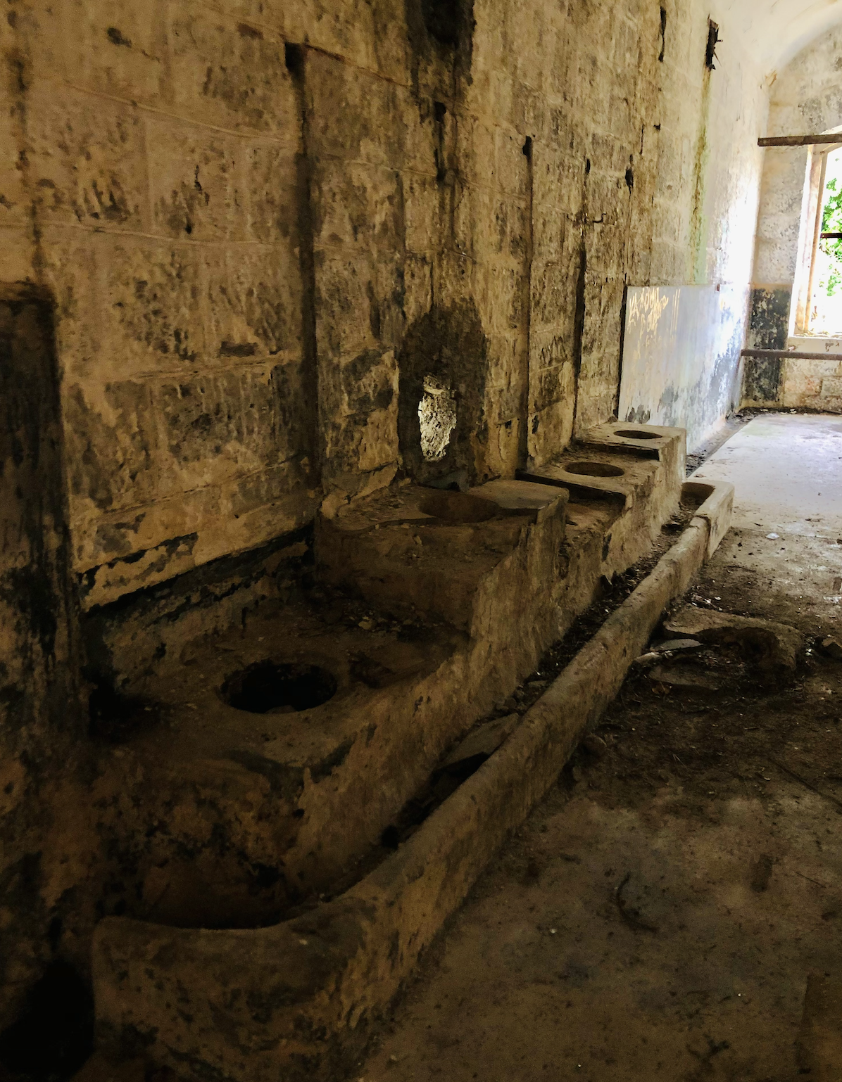
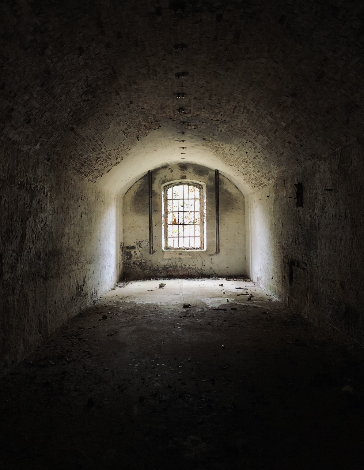
Fortress Vrmac is a powerful fort constructed at the turn of the 19th century by Austro-Hungarians. Fortress defended the land during the First World War. You can wonder inside the building and see not only weapons depots but also bathrooms.
Then we walked along the trails.
📍4| One of the trails along the mountain range Vrmac
42.437999, 18.742074
https://goo.gl/maps/1XphUps7FGU95cx48
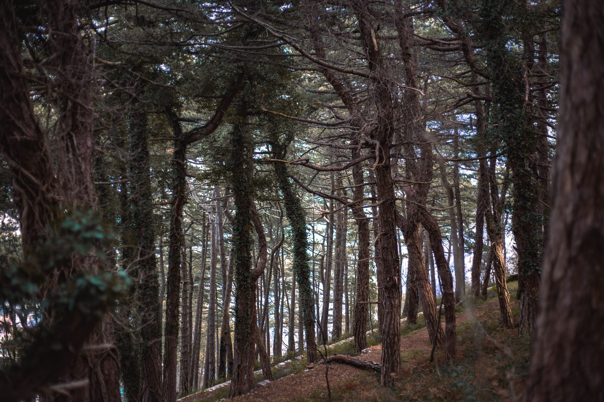
We chose a path through the magic forest: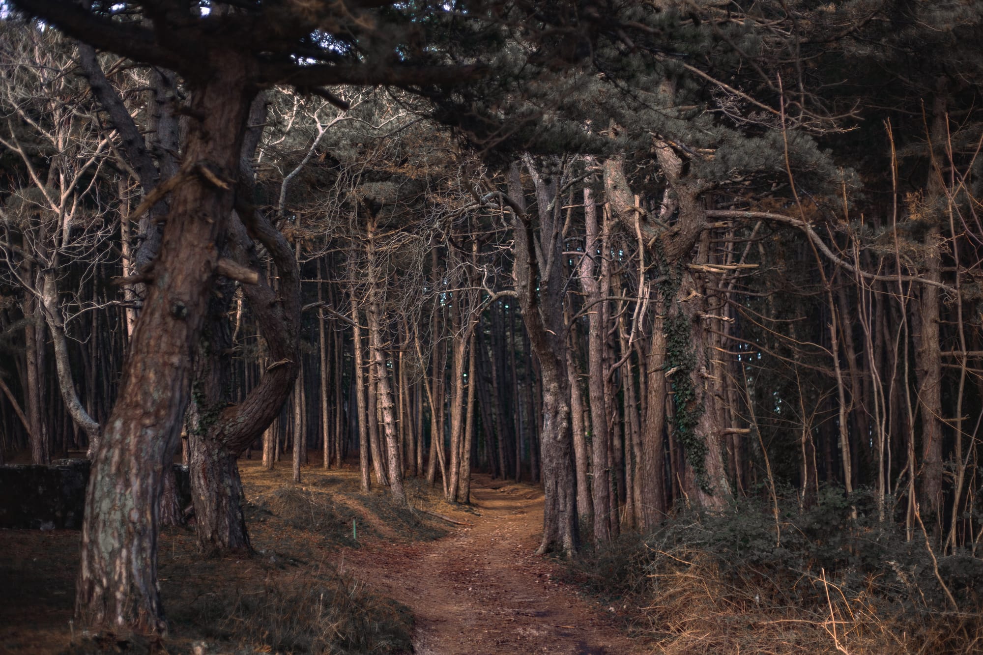

As I've already mentioned you can choose any direction such as to go to Sveti Vid chirch https://goo.gl/maps/n7CutaufvRxPEQL48 or to the top of Sveti Ilija https://goo.gl/maps/5zLsk4AEHf3FCtto8. It's said that there is a splendid view opening to Tivat and Kotor.
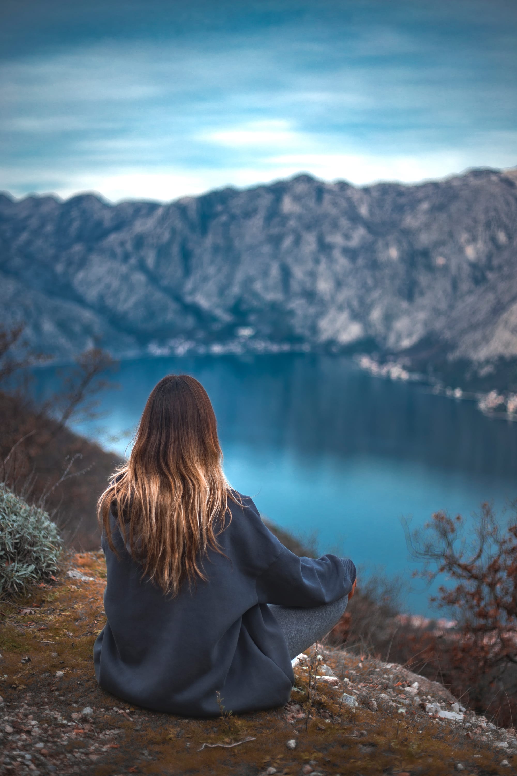
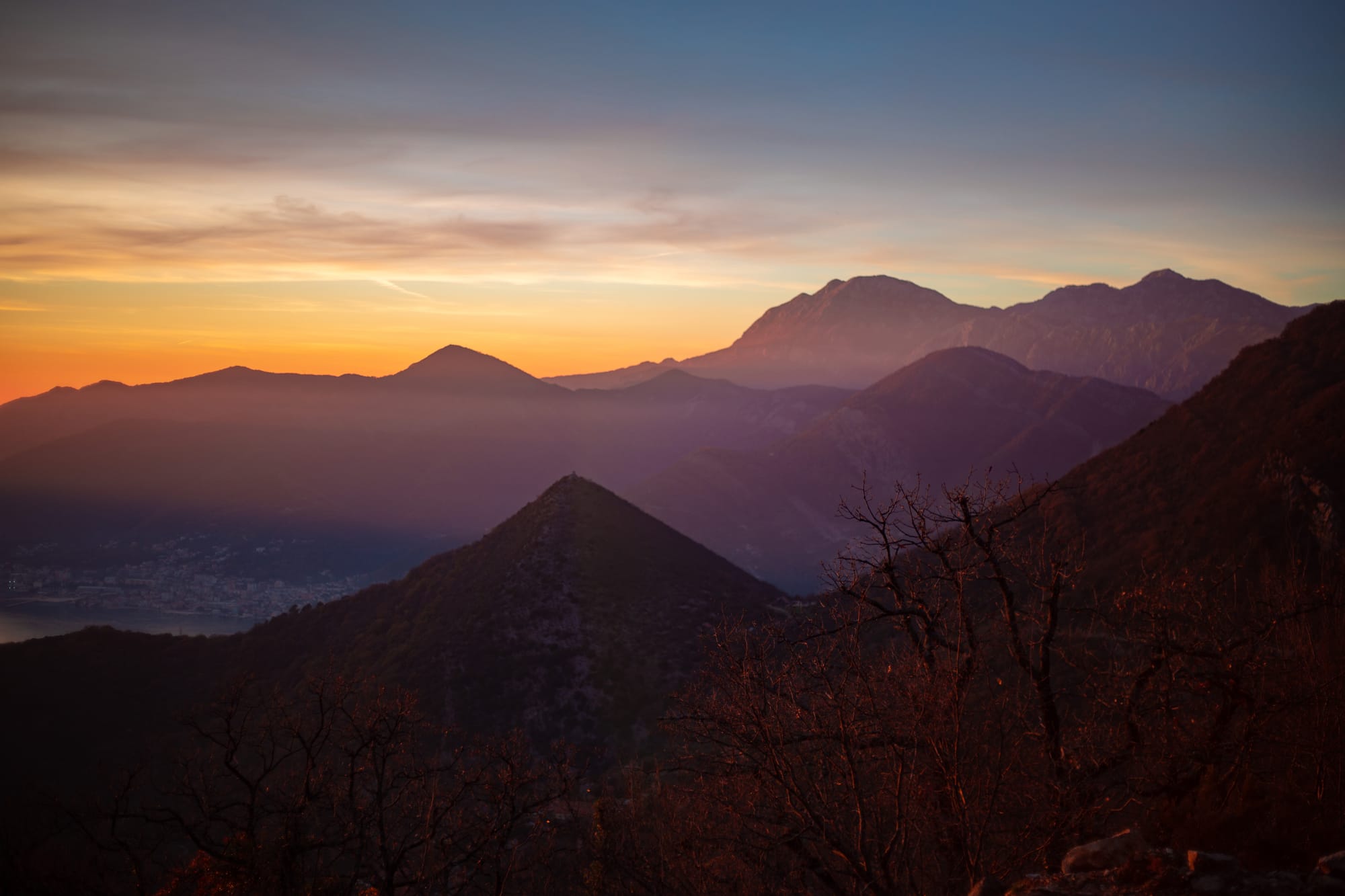
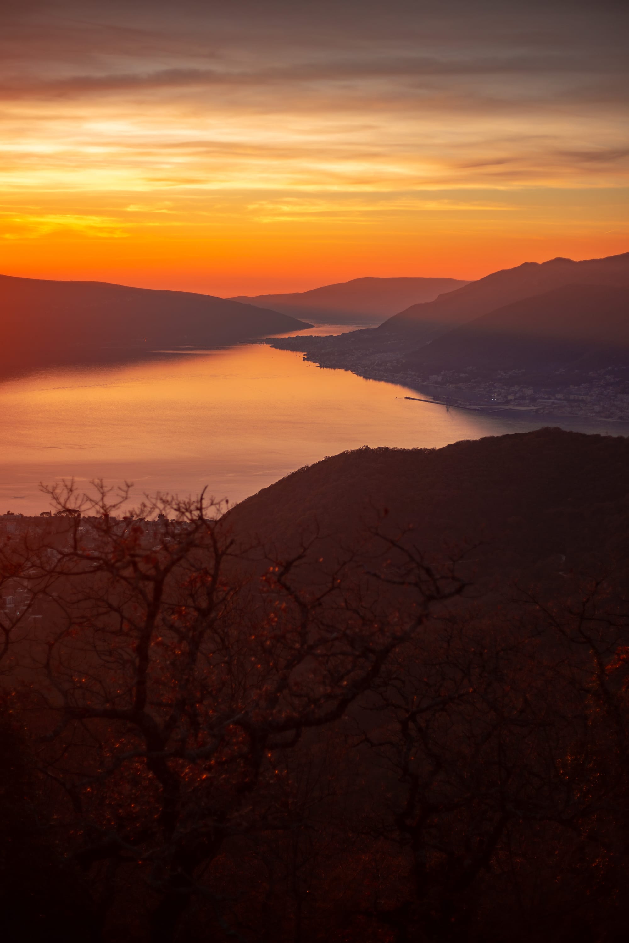
Then we were stunned by the view of the Bay of Kotor.
Here it is:
📍5| 42.437999, 18.742074
https://goo.gl/maps/wB9u2xEBTSh4Fsbb7
At this point you can return along your trail but also can walk down one of the hiking paths to Kotor. Keep in mind that the descent can be steep and rather dangerous if you don't wear thekking shoes and clothes.
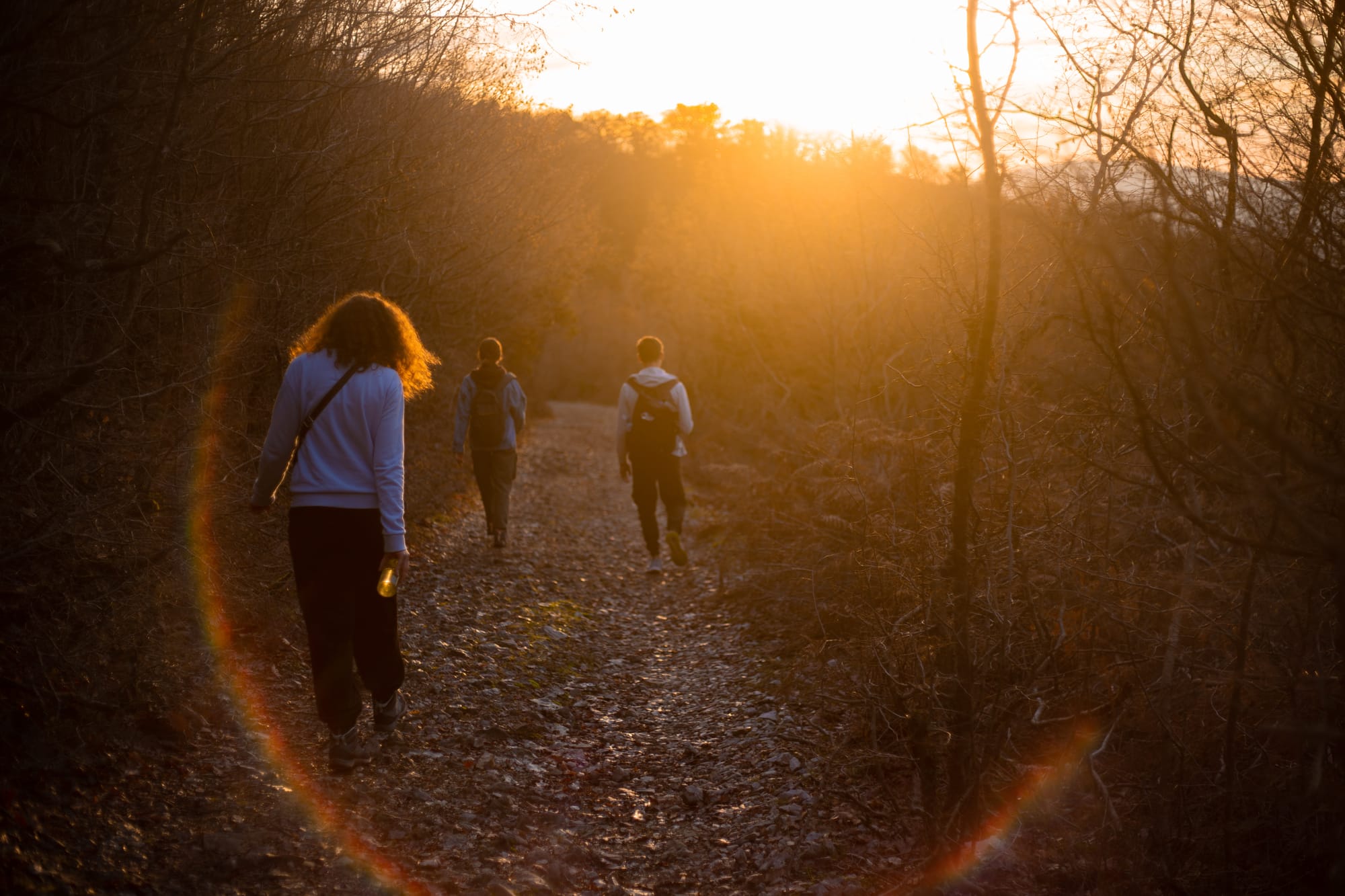
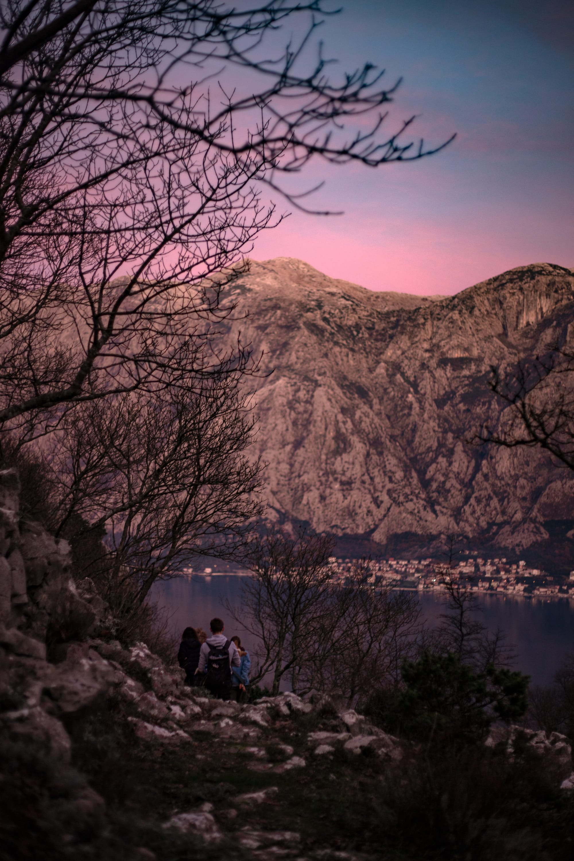
On the way to the descent we were captured by the flaming sunset. As usual in Montenegro!
📍6| One of the descents to Kotor
42.453720, 18.720263
https://goo.gl/maps/qq1eccdmxV9X2S8a8
Here I would recommend to put away Google Maps if you had been using it all the time and open Maps.me, as some descent trails can be absent or distorted.
As I mentioned previously it's better to descend in advance by daylight. If you are not sure that you'll come back before darkness - return to your way that is familiar for you for now! These descents can be EXTREMELY STEEP. It's getting darker very fast in Kotor mountains. Night and moisture can take you by surprise!

On the nearest right trail we were going ~60-70 minutes. Extremely steep descent. Not recommended!)
But the views before the descent were still impressive!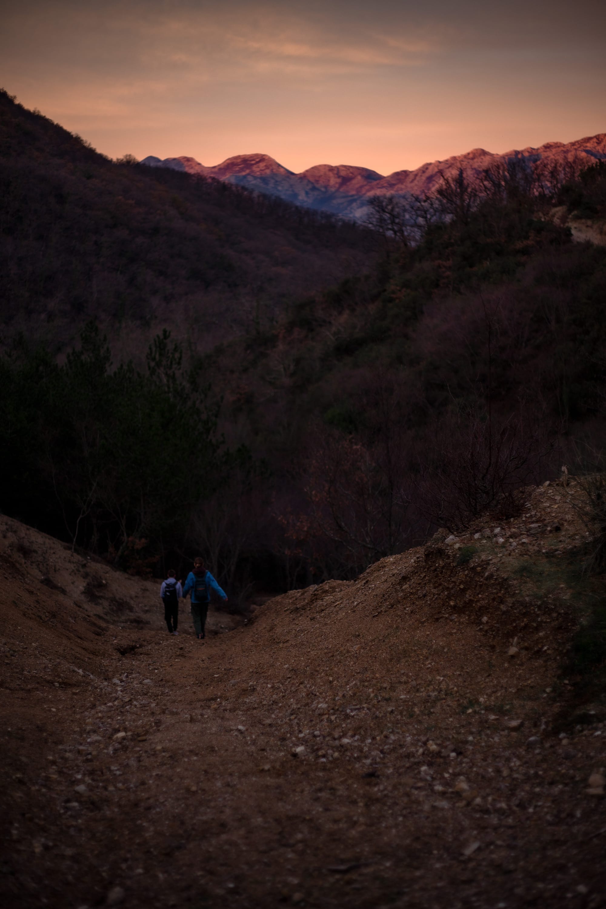
I wish you all an active hiking and interesting company nearby!


